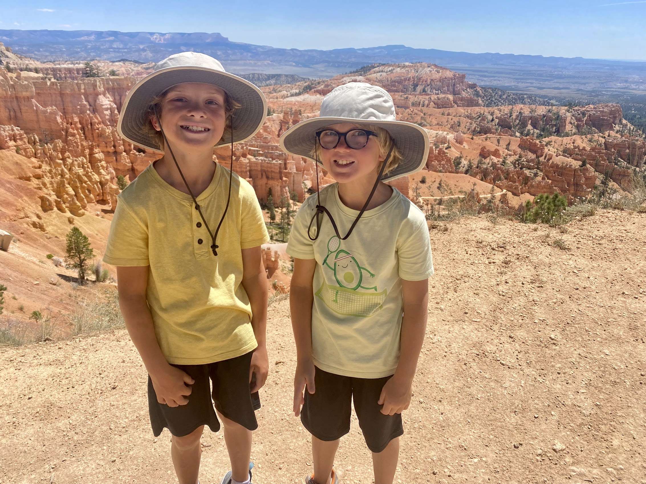
Sacramento to Spearfish via the Utah Canyons
August 1, 2023
These days summer vacations seem to always involve a roadtrip in the minivan with Chuck. We like to think that Chuck enjoys these trips, but aren’t really sure because the moment we park the car, he busts out of the door like his life depends on it. Dogs just do not seem to share the same wanderlust that we humans do.
Anyway, this summer our plan was to spend three weeks driving across Wisconsin, Illinois, Indiana, Iowa, and Nebraska. Yes, the “flyover states”. I guess Doug, the aspiring farmer, just needed to see for himself how exciting it is to drive through several hundred (thousand?) miles of cows, grain silos, and cornfields. With family spread throughout all of the aforementioned states, I had already checked this box.
To spice things up, I first wanted to spend a few days in South Dakota as it is one of two States that I had not yet traveled to. (North Dakota being the other) I booked us a VRBO in Spearfish, and, in an effort to keep things interesting, took us there via the “Loneliest Road in America” (Nevada) and “Highway 12 — A Journey Through Time, Scenic Byway” (in Utah).
Drive: Sacramento to Utah
On a Friday morning in July, we departed Sacramento, with the dog enthusiastically seated in the back seat, thinking he was just going to the park.
Central Nevada was brand new territory for us, so we took Highway 50 through small towns like Fernley, Fallon, and Ely — where we stopped to eat a Subway sandwiche on a picnic table behind a gas station. Chuck loved this stop, as he had the opportunity to sniff the area, learning all about the dogs who had pee’d (there) before him.
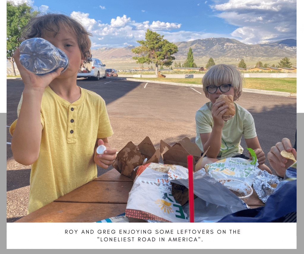
In July of 1986, Life magazine dubbed Nevada’s Highway 50 the “Loneliest Road in America.” This article claimed that there were “no points of interest” along the route and “warned” readers not to risk traveling it, unless they were confident of their “survival skills.” Luckily, we were driving our state-of-the-art 2014 Honda Odyssey (minivan) so the latter was not a concern.
Just before we made it to Utah, we crossed paths with a thunderstorm — coming “this” close to being struck by lightning at the same that we had an almost “bird strike”. Switching drivers Doug then almost took out a vole, a mouse, a normal-sized bunny, and a big dog-sized bunny. We were pleased to make it unscathed to the Days Inn by Wyndham in Panguitch, Utah.
*Note: This Days Inn was reminiscent of a motel I once booked for Doug and I outside the Grand Canyon (before kids). There, Doug made us sleep in plastic sacks. We probably should have done the same here, but we didn’t have them. I recommend you stay elsewhere.
Red Canyon, Utah
National Parks are very restrictive when it comes to dogs. Bryce Canyon is no different. Luckily the National Forests adjacent to most National Parks are much more accommodating. The Red Canyon area of the Dixie National Forest, (just outside of Bryce Canyon) is a dog-friendly desert paradise, with plenty of red rocks, arches, and hoodoos. Hoodoos are the intricately carved rock spires that make Bryce Canyon famouse and are the result of years of erosion. To get to the Red Canyon area, we departed Panguitch on Hwy 89 to SR-12, and arrived there in just under ten minutes.
After a minor disagreement (with the kids) over whether they should be hiking in their Crocs or their hiking shoes, we headed out on the relatively “easy” Photo Trail. (Barely a mile) This trail involved a considerable amount of scrambling, so I am not sure we followed it correctly, but either way, we got our hoodoo fix.
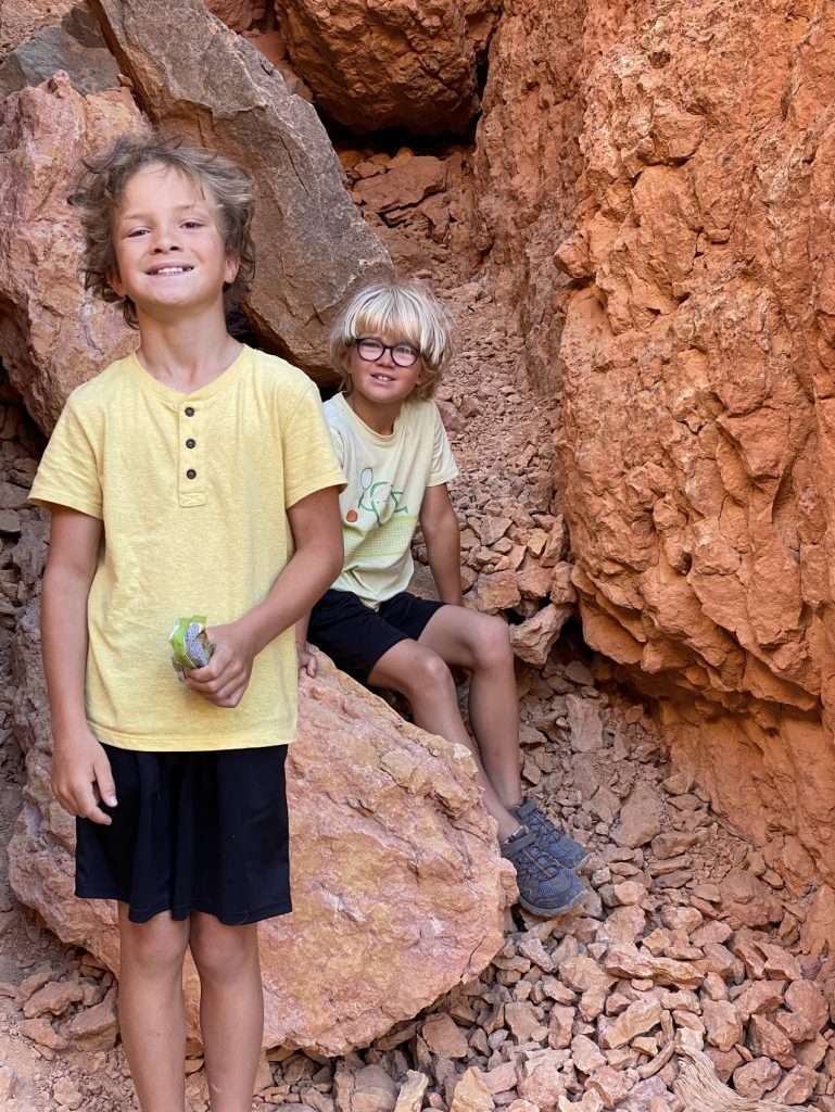
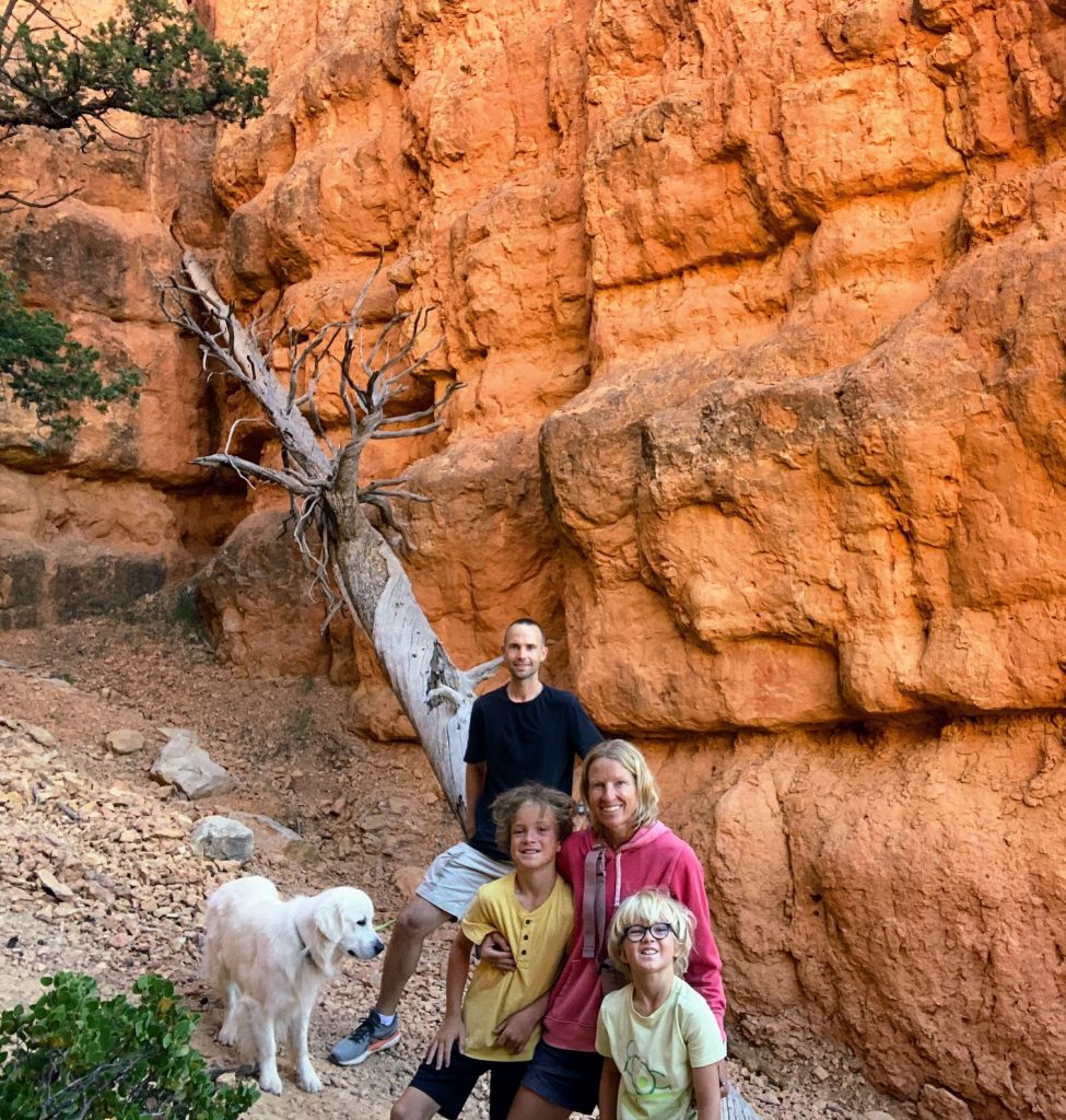
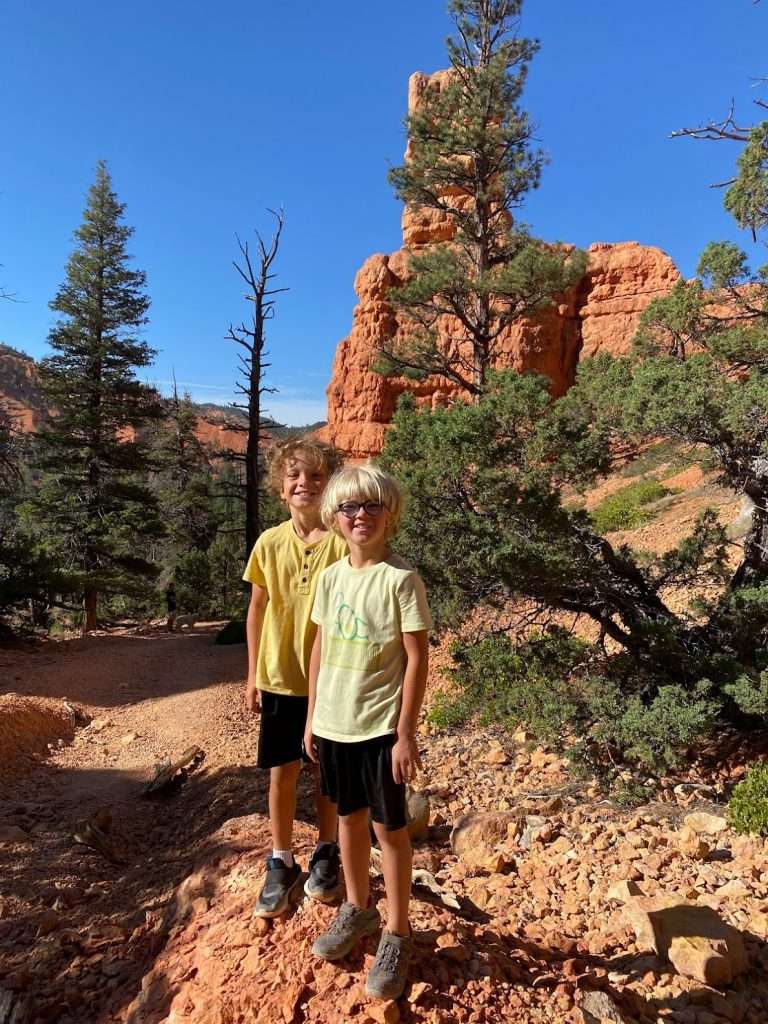
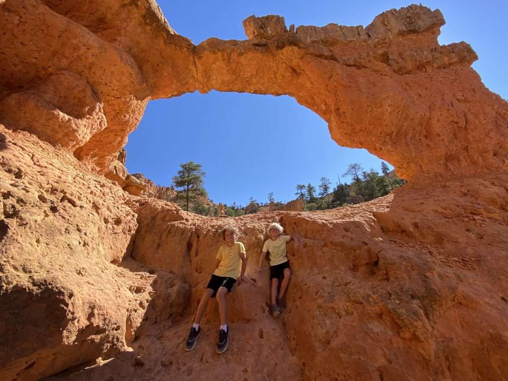
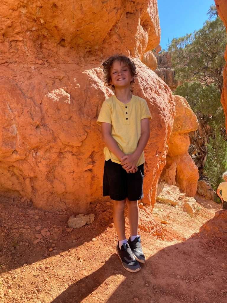
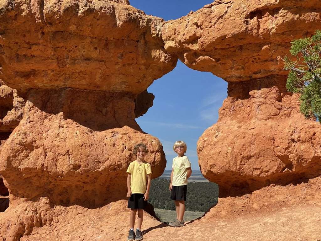
Hopping back in the car, we drove a mile or so on SR-12 until we saw a sign for Lossee/Casto. (About two miles from the intersection with Hwy 89) We followed a dirt road to the Lossee Canyon Trailhead where we (eventually) found the Arches Trail. This trail is an easy 1.5 mile loop, that passes by 15 different arches (we didn’t count that many, but whatever), and a whole bunch of red rocks. Having now witnessed first hand a large amount of hoodoos, arches, and red rocks, we were satisfied that we could forgo hiking dog-unfriendly Bryce Canyon National Park.
Bryce Canyon National Park, Utah
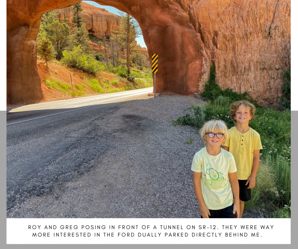
Instead we decided to just go to the parking lot. It was a twenty-minute drive on SR-12 to the entrance to Bryce Canyon. On the way we passed through several gorgeous red tunnels like the one pictured below. It was challenging to get the kids to pose for this picture, as there were so many large trucks parked behind us that they could barely focus.
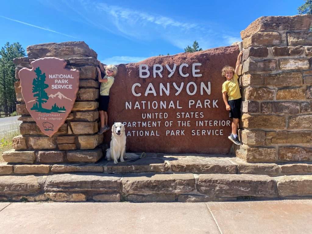
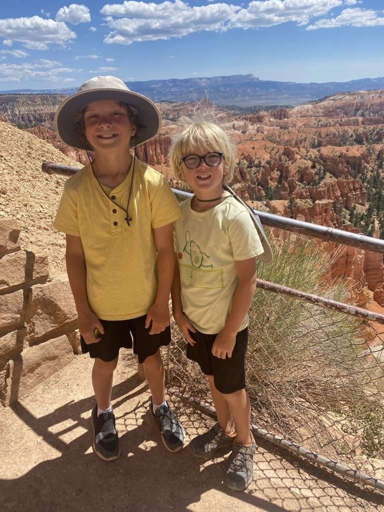
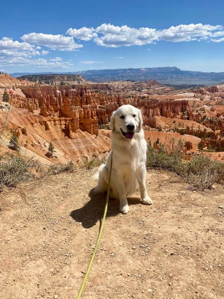
In Bryce Canyon, there is a 0.5-mile section of Rim Trail between Sunset and Sunrise Points that provides a scenic, panoramic paved path where dogs can be walked on a leash. While Chuck offended that he and his brethren were not trusted on the trails here, he nonetheless held his tail high and pranced along the RIm Trail to all sorts of adoring fans. And yes, the irony is not lost on me that any “search and rescue” in this Canyon or in other National Parks would almost always involve a dog. Sigh.
Capitol Reef National Park, Utah
Leaving Bryce Canyon, we had a 2.5 hour drive to Capitol Reef National Park. Capitol Reef is the least visited park in Utah, as it is often overshadowed by all of the other neighboring parks. The namesake of this park was a result of a unique geological feature created when the Pacific plate crashed into California and pushed and folded the continent all the way over in Utah. Confused? So was I.
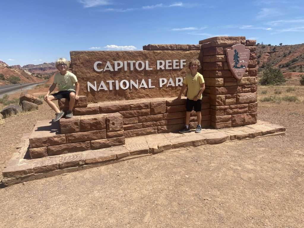
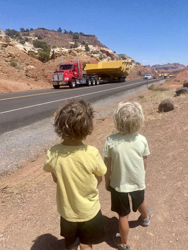
For our crew, the most memorable moment in this National Park, occurred just as we entered it. There was a man running (we were in a desert) with a State Trooper trailing him, telling us that we had to wait at the entrance sign. I was pretty sure that I was witnessing some famous running race, but when I asked the State Trooper, he responded with, “oh, that guy? I have no idea why he is running right now. Crazy.” No, we were actually being stopped at the sign to await eight more police cars and a bunch of oversized mining equipment moving through the park. Big, big, very big trucks for the win!
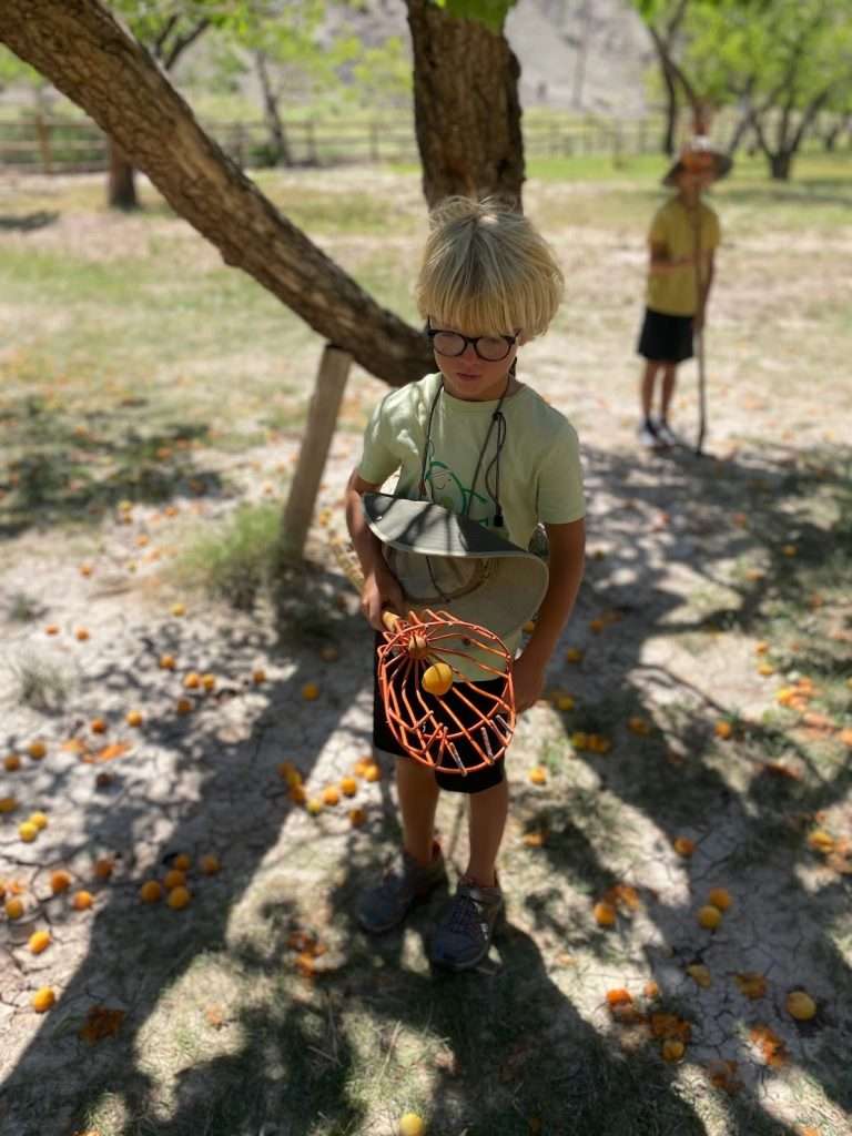
The most unique element of this park, in my opinion, is the Fruita Orchards. These orchards found along the Fremont River and the Sulphur Creek are remnants of the pioneer community of Fruita, settled in 1880. Today, the National Park Service maintains approximately 1,900 trees here, including cherry, apricot, peach, nectarine, pear, apple, plum, mulberry, quince, almond, pecan, and walnuts. You are able to sample whatever is “in season” for free, but if you want to take something home, you have pay a nominal fee. We planned to do that with the apricots, but after tasting them we decided to find a Safeway instead.
Arches National Park, Utah
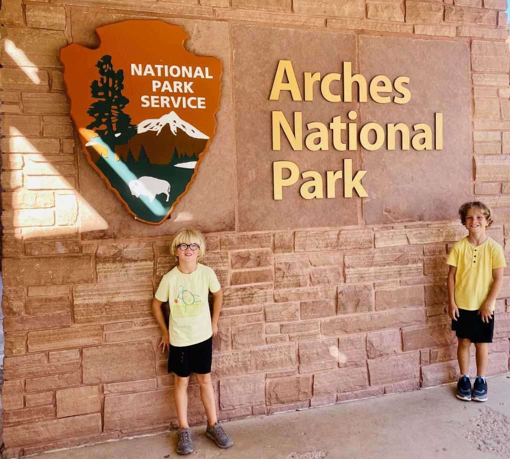
It was another 2.5 hour drive east to Arches National Park — our last stop before we made a beeline for Spearfish. Arches National Park lies just north of Moab, and is known as the site of more than 2,000 natural sandstone arches, including the massive, red-hued Delicate Arch, which we didn’t see because, well, we had a dog with us. Instead we were forced to take a brief tour of the park from the comfort of our minivan. Did I mention how frustrating this dog policy is at the National Parks?
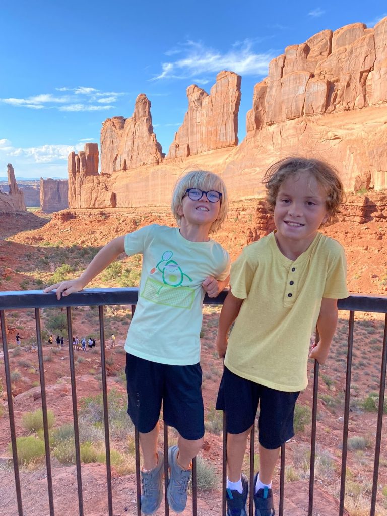
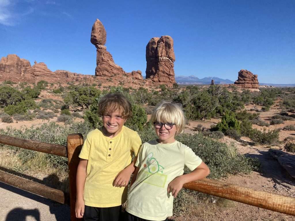
Leaving Arches, we drove as far as we could into Western Colorado so that our final day of driving (to Spearfish) would a lot less daunting. We made it to the Blue Spruce Inn in Meeker, Colorado. Meeker is a cute little town situated on the White River, which we were able to walk to with Chuck as it is, of course, NOT a National Park. 🙂 We finally rolled into Spearfish on Sunday afternoon.


1 Comments
Four Awesome Days in Spearfish With Kids – Tales From Our Trips
July 25, 2024 at 1:43 pm
[…] driving across (all) of Utah, we finally arrived in Spearfish late on a Sunday afternoon. We quickly made ourselves at home in […]